A new age of exploration is helping self-driving vehicles navigate the world.
Waterloo, Ont.-based GeoMate is remapping the world with better data points, in part because “perception of [autonomous vehicles] is completely different from the perception of human drivers,” co-founder and CTO Nastaran Saberi told me in a video call on Tuesday.
GeoMate’s partners fly over cities to collect high-definition images, she said, and GeoMate then layers software on top to focus on the relevant features more efficiently than a manually driven car equipped with a Lidar sensor—one of the ways currently used to build maps for automated vehicles.
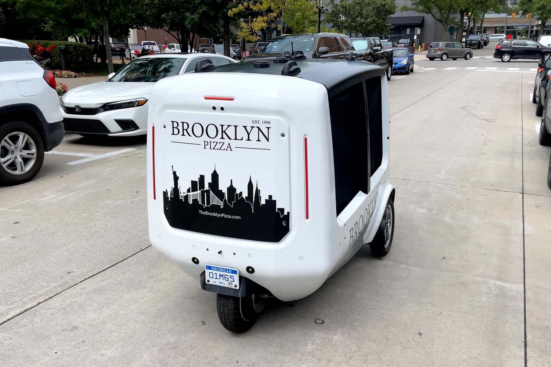
GeoMate, which was part of the 2022–23 Creative Destruction Lab cohort and the 2021 Google Cloud Accelerator Canada, has worked with e-scooter firms, and companies like Magna on its delivery robots. It has even mapped bike lanes for the city of Oakville, Ont. The maps include signs and signals that can be translated to AVs into rules for each driving lane; they can depict sidewalk’s terrain and track locations down to 10 centimetres of precision.
It’s not the only company that sees the opportunity in maps using technologies like artificial intelligence that weren’t available when Google Earth opened to developers in 2005. This summer, Meta, Microsoft, TomTom and Amazon Web Services collectively released a mapping dataset through the Overture Maps Foundation, explaining that “as the requirements for accuracy, recency, and attribution in maps have grown … the costs and complexities of collecting and maintaining global map data have grown beyond the capability of any single organization.”
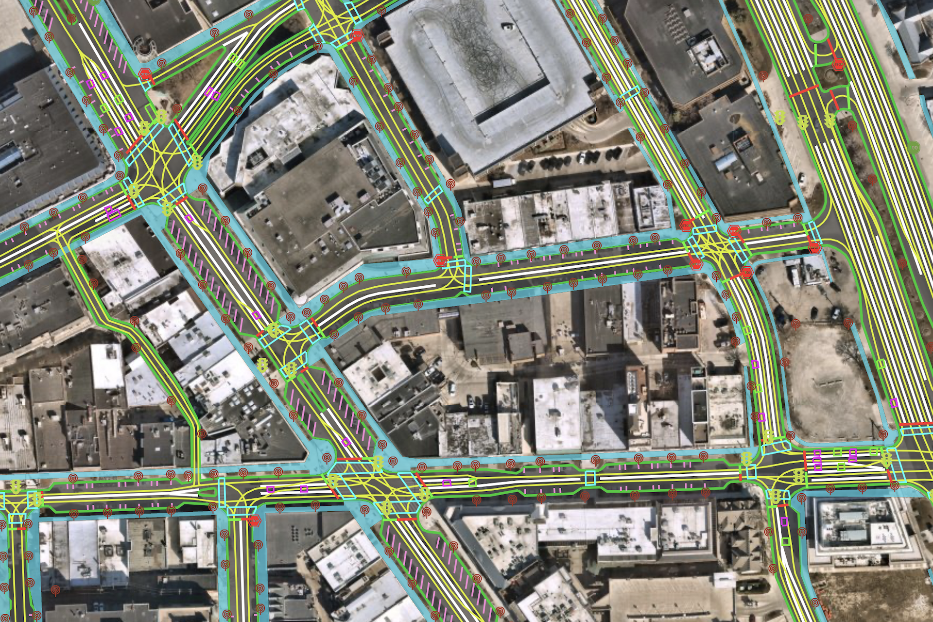
A map created with Waterloo, Ont.-based GeoMate’s 2D and 3D technologies, which are used by autonomous vehicles and other mobility companies. Photo: GeoMate/Handout
Adding the right details to digital maps is becoming increasingly important as more AVs are deployed in cities. On Aug. 10, Waymo and Cruise got permission to put an unlimited number of driverless taxis on the roads of San Francisco, day or night. Nearly a dozen companies in China announced plans so far this year to roll out advanced driver-assistance systems that were previously limited to highways.
“We need maps that are available for everyone to use for their AV research,” said Saberi. “People are contributing—that can make a very big difference.”
This spring, a Toronto-based team at Hatch released a report, “The Driverless Endgame,” which predicted that new roads may someday be designed alongside a digital map that can be fed straight to vehicles, completely embedded with applicable AV driving rules.
“In the future,” the April report says, “we will place analog lights, lines, and signs where a digital map indicates, instead of creating a digital map based on where the signs, lines and lights are.”
Read Shift—The Logic’s authoritative weekly newsletter on automotive technology industry news—for more; and if you know someone who should be reading it, they can sign up here.